Burroughs Mountain Loop Trail
route details
DATE: August 25, 2020
LENGTH: 9.5 miles
TRAILHEAD: Sunrise Visitor Center, Mount Rainier National Park (MRNP)
PERMIT: No advance permit is required for day use in MRNP. A wilderness permit is required for all overnight stays in the backcountry. A climbing permit is required for all travel on glaciers and above 10,000 feet.
DIFFICULTY: Challenging
WATER: Shadow Lake is the only accessible water source on this route, and does not permit swimming. No access to Frozen Lake.
TIPS: Start early, if possible. Beginning in 2024, reservations are required to enter the Sunrise Corridor of MRNP between 7:00am and 3:00pm, July 4 through September 2. Visit https://www.nps.gov/mora/planyourvisit/timed-entry-reservations.htm for more details and reservation information. A national park pass is also required.
the hike
I had this trail on my adventure bucket list for quite some time before setting out in late August of 2020, but faced the logistical challenge of starting before sunrise (to beat both the heat and Mount Rainier National Park’s famed summer crowds) on a route nearly three hours from my parents’ house. My parents generously offered to watch Aleks, so I eventually bit the bullet and made a very early drive out to the park - leaving around 1:30 am - and arrived at the Sunrise visitor center just in time for a 5 am departure.
Despite the late summer date, it was cold - in the lower 30s with gusty winds - but beautifully clear, the dark sky overhead brimming with stars. This trail can be done either as a loop or an out-and-back; I opted to do the loop counter-clockwise, leaving the Sunrise picnic area and trekking northwest toward Frozen Lake via the Sourdough Ridge Trail. A headlamp was essential, as the trail was rocky in spots, and the sky didn’t start to lighten until nearly two miles into the hike.
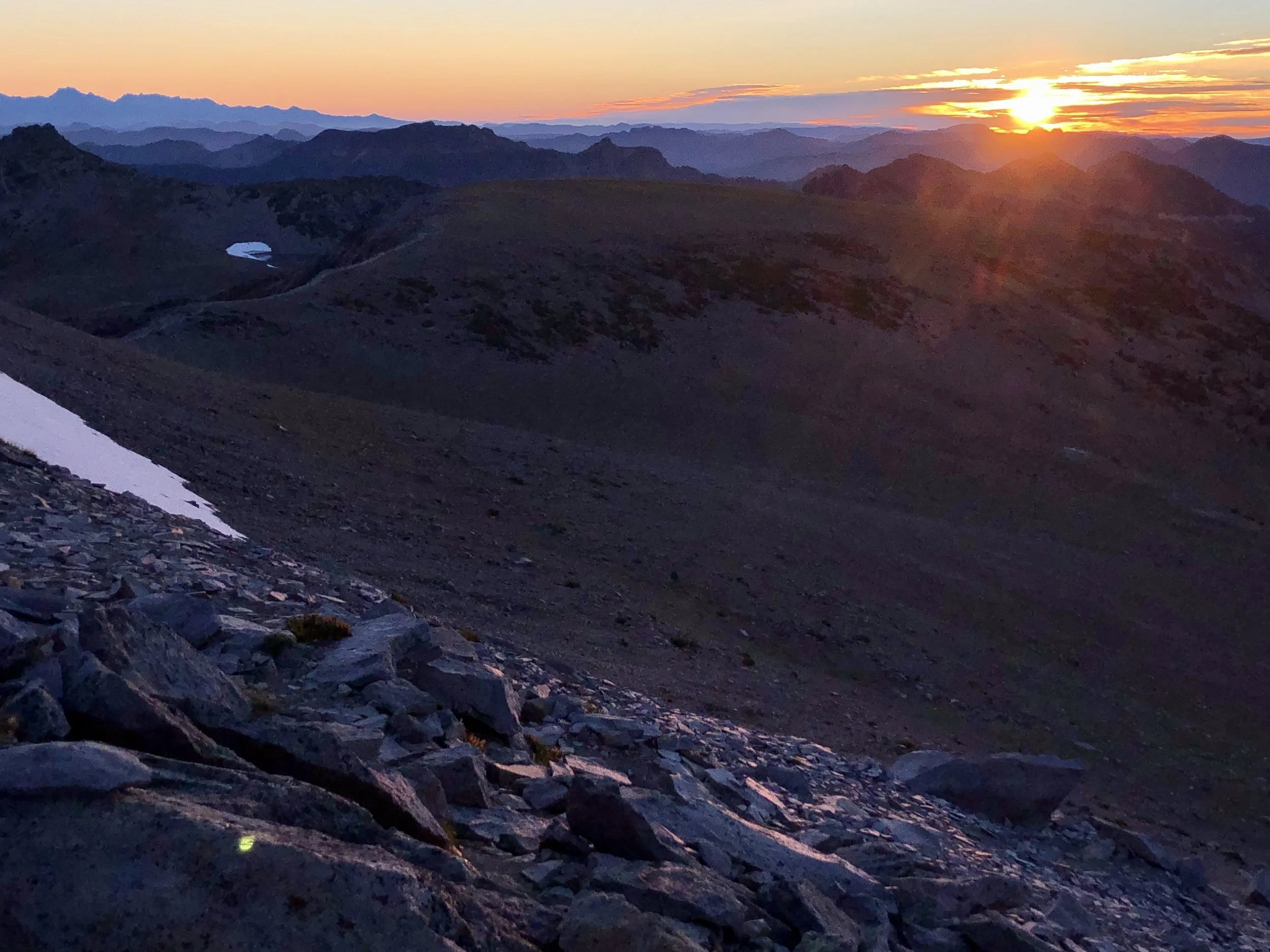
I reached First Burroughs Mountain (2.2 miles in, at 7,188 feet elevation) a few minutes before 6 am, and decided to push on to Second Burroughs (0.6 miles further, at 7,400 feet elevation) for sunrise. I’m so glad I did; both the sunrise and the alpenglow on Mount Rainier were breathtaking.
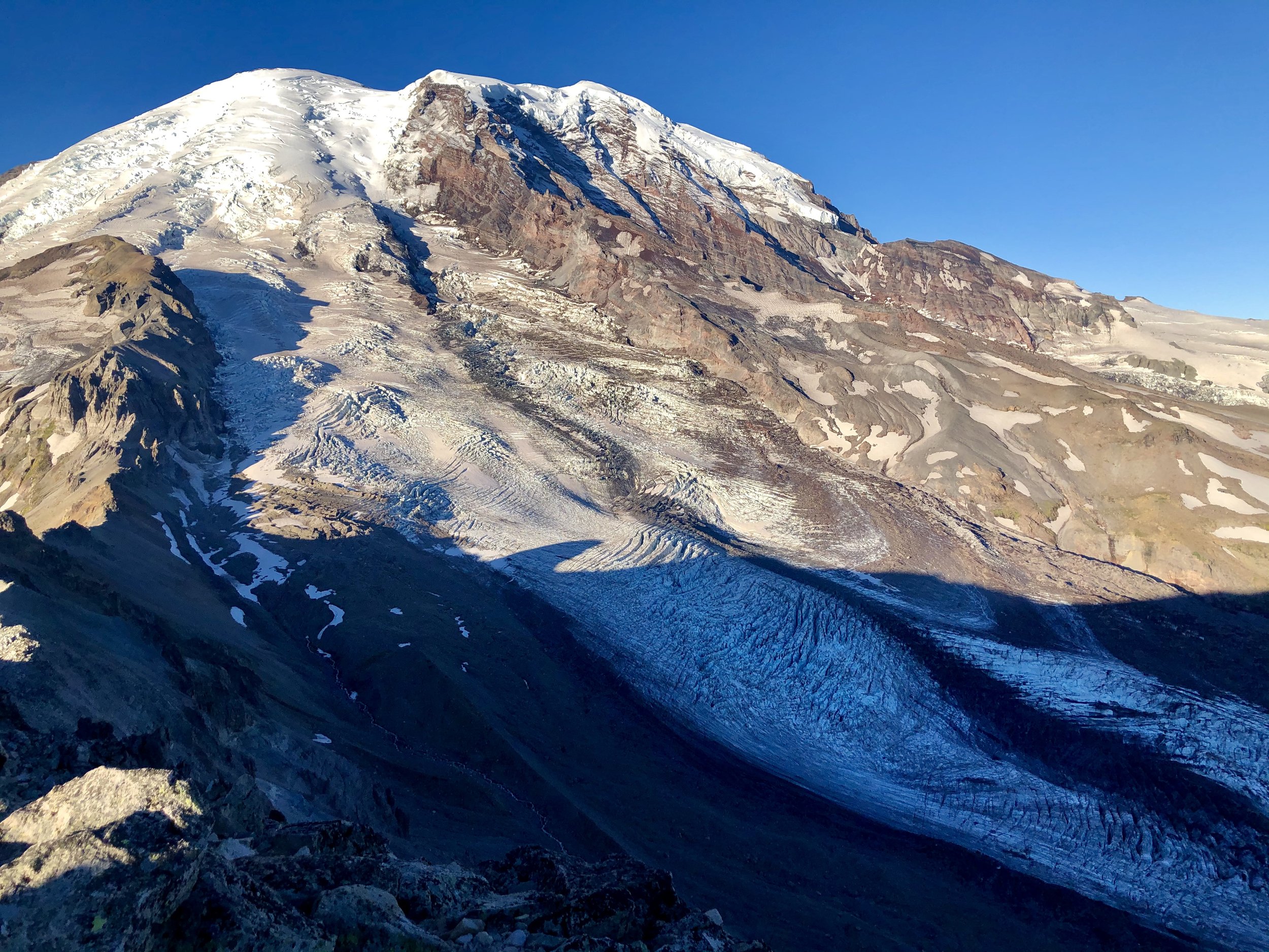
Previous trail reports indicated the section of trail between Second and Third Burroughs would be challenging, and holy cow - they weren’t wrong! Leaving Second Burroughs, the trail dips 400 feet into a grassy valley before climbing 800 feet over the next mile, mostly through loose gravel and scree. Luckily, the views of the mountain were phenomenal, and better with every step. Another solo hiker caught up with and passed me shortly after Second Burroughs, but otherwise I had the trail all to myself.
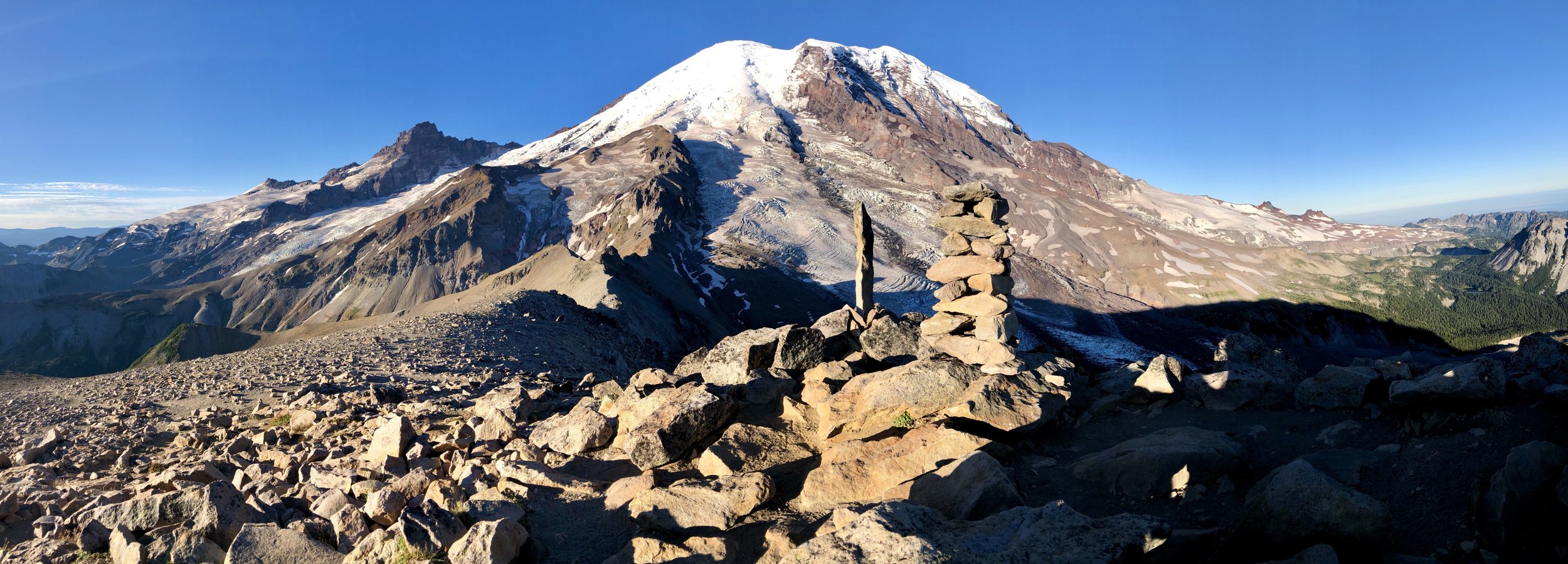
I arrived at the summit of Third Burroughs Peak (5.3 miles in, at 7,823 feet elevation) a little after 7:15 am, and was immediately amazed by how close I suddenly felt to Mount Rainier. The views from First and Second Burroughs had been gorgeous in their own right, but there was something truly special about standing atop this peak, in such proximity to an object I had only seen from a distance for most of my life.
The solo hiker that had passed me previously was leaving the summit as I arrived, so I had the top of the mountain all to myself as I settled in to eat breakfast and admire the breathtaking scenery. I sat in silence for almost an hour, listening to the wind blow and to the ice cracking and popping in the glaciers below. It was the experience of a lifetime, and well worth any sore muscles I knew were coming the next day.
After leaving the summit of Third Burroughs, I retraced my steps to Second and First Burroughs, taking in the scenery transformed under the mid-morning sun.
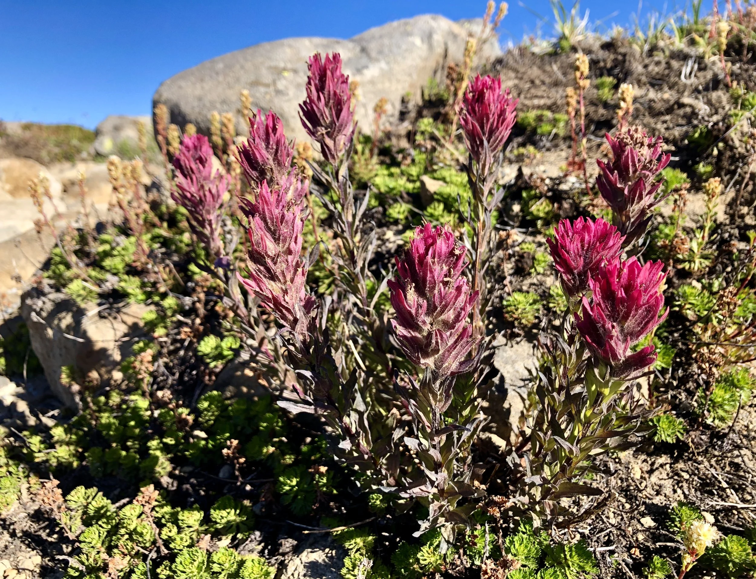
I opted to return to the trailhead via the Sunrise Rim Trail rather than Sourdough Ridge. This route was fairly dusty and exposed for the first mile after the trail junction, but eventually moved into sub-alpine terrain with more shade and lots of beautiful late season wildflowers in bloom. I made a brief stop at Shadow Lake and arrived back at my car at Sunrise around 10am, just as the crowds were starting to pour in.
final thoughts
I’ve hiked many trails in MRNP over the years, and this is among my favorite routes to take in the magnificent beauty of the park. A very early start afforded near-solitude throughout most of the hike, and there is something truly magical and otherworldly in witnessing the alpenglow on Tahoma first-hand. Most of the trail - approximately 1.5 miles from Sunrise, in either direction - is highly exposed, so proper protection from the sun and elements is a must.


